
ScholarWorks

ScholarWorks is an open access repository for the capture of the intellectual work of Montana State University (MSU) in support of its teaching, research and service missions. MSU ScholarWorks is a central point of discovery for accessing, collecting, sharing, preserving, and distributing knowledge to the Montana State University community and the world.
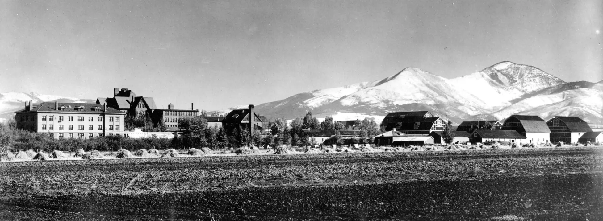
MSU PHOTOS

Communities in ScholarWorks

Select a community to browse its collections.

Now showing 1 - 1 of 1

Recent Submissions

  • Item type:Item,
    Solar-Driven Geomagnetic Energy: Modeling Deep Geomagnetically Induced Currents and Geothermal Dynamics in Yellowstone National Park
    (Montana State University - Bozeman, College of Agriculture, 2024-12)
    Tudon-Arcediano, Heather Marie
    ;
    Townsend-Mehler, John
    Solar events impact Earth's magnetosphere, generating magnetic variations that drive energy transfer into Earth's conductive materials. This process induces geomagnetically induced currents (GICs), which, through thermodynamic principles, facilitate Joule heating through thermal convection. These energy transfers are proposed to correlate with changes in their surrounding ecosystems. Previous studies have linked geomagnetic storms to seismic activity, hurricane cycles, geothermal fluctuations, and deep interior thermal dynamics, suggesting that these energy shifts drive ecosystem variations. Tracking the flow of magnetic thermodynamics provides an understanding of interior energy drivers in surface temperature changes, soil composition, and species-specific resilience. Yellowstone National Park is proposed for modeling geological thermodynamics due to its highly conductive underground plume of partly molten rock feeding into the caldera. Known rhyolite area deposits with high electrical conductivity create a natural conduit for GIC-driven Joule heating under geothermal features. Tracking variations in the geochemistry of rhyolite mineral dissolution in geothermal waters, deep thermal dynamics linked to magnetic activity can be traced. This proposed study connects solar-induced geomagnetic variations and internal geological processes, providing a potential mechanism for understanding the causality behind their ecosystem changes.
  • Item type:Item,
    Carbon Sequestration Modeling: A Case Study of Inadequacies on the Rensselaer Plateau
    (Montana State University - Bozeman, College of Agriculture, 2024-12)
    Schwitzgebel, Andrew Jacob
    Carbon sequestration is the process by which plants pull carbon from the atmosphere and store it on the surface of the earth. Understanding that process is important to be able to use land to mitigate the worst impacts of human-caused climate change. We know the rates at which individual plant species can sequester carbon and the rates at which different biomes can sequester carbon. However, we lack a clear understanding of how different ecological community and land cover types differ in their carbon sequestration capabilities within a biome; therefore, I compared the productivity of ecosystem community types and land cover types on the Rensselaer Plateau in New York, USA. I used MOD17 satellite carbon sequestration modeling to compare the proportions of ecosystem community types and land cover types present in notably productive and notably unproductive areas. This comparison should have yielded ecological community types and land cover types that are over- and underrepresented in highly productive or unproductive areas. Instead, I demonstrate that the resolution of available topical satellite data is insufficient to draw conclusions about fine-scale differences in carbon sequestration potentials of different types of land within a biome. The mismatched resolutions of the carbon sequestration modeling and the ecological community type and land cover classification data introduce too much inaccuracy to draw meaningful conclusions. This data gap must be closed so policymakers and land conservation entities can proactively and efficiently maximize the carbon sequestration potential climate change mitigation projects and initiatives.
  • Item type:Item,
    Risk Assessment of Per- And Polyfluoroalkyl Substances on Western Snowy Plover in Ormond Beach Wetlands, Oxnard, California
    (Montana State University - Bozeman, College of Agriculture, 2024-12)
    Palasik, Shelby Faye
    Ormond Beach wetland complex in Oxnard, California, houses one of the few remaining intact dune-transition, zone-marsh systems on the west coast. The threatened Western Snowy Plover (Anarhynchus nivosus nivosus C.) uses this dune-transition zone during their nesting season. Ormond Beach is bordered on either side by Port Hueneme Naval Base and Point Mugu Naval Air Station, both of which used Aqueous Film Forming Foam, introducing Per- and polyfluoroalkyl substances (PFAS) to the groundwater and local ecosystems. This assessment was conducted to assess the extent of exposure and impact of PFAS on the Western Snowy Plover, due to the proximity of the Ormond Bech wetland complex to these naval bases. First, Iaccessed historic PFAS groundwater data from the Point Mugu Naval Air Station and Port Hueneme Naval Base and used theoretical groundwater models to assess the potential groundwater transport from the bases to the groundwater fed sections of the wetland complex. I found that there are potentially substantial effects to the Ormond Beach wetland complex and the Western Snowy Plovers that nest there from both perfluorooctane sulfonic acid (PFOS) and perfluorobutate sulfate (PFBS). With a Risk Quotient (RQ) for PFOS of 575, I recommend that additional data be obtained from the Ormond Beach wetland complex to understand PFAS exposure and further risk levels of these wetlands. Second, I reviewed the current federal and state policy and regulatory framework addressing PFAS contamination, highlighting the Environmental Protection Agency’s PFAS Action Plan, the Department of Defense’s amendments, and overall and California based state-level initiatives. Despite significant progressin human health targeted policy, legislative gaps remain in managing PFAS proliferation and cleanup protocols, necessitating ongoing vigilance and adaptability from local and federal governments. Last, I conducted a stakeholder analysis of Ormond Beach to inform mitigation challenges. The Ormond Beach wetland complex involves diverse stakeholders, including federal agencies, local governments, conservation organizations, and private landowners. These complementary objectives revealed a substantial PFOS risk (Risk Quotient = 575) to Western Snowy Plovers at Ormond Beach with minimal legislative guidance on potential mitigation or remediation.
  • Item type:Item,
    Response of Channel Morphology and Riparian Vegetation Following Restoration and Land Use Changes, Adobe Creek, California
    (Montana State University - Bozeman, College of Agriculture, 2024-12)
    Ostergaard, Spencer Davis
    ;
    Kleindl, William J.
    The effects of restoration efforts and land-use change on the channel morphology and riparian vegetation of Adobe Creek, California, are examined. The landowners put 667 hectares (1,649 acres) of private land on Adobe Creek into a conservation easement under the Natural Resources Conservation Service’s (NRCS) Wetland Reserve Program (WRP). The establishment of Adobe Creek WRP includes physical restoration and land use changes for the stream and surrounding areas previously affected by agricultural practices, such as grazing, an agricultura ldam, and irrigation of pastureland. My hypothesis for this project is: With the absence of cattle grazing, reduction in irrigation, and physical restoration of Adobe Creek WRP, stream channel morphology and riparian vegetation will change, specifically with narrowing bankfull widths and increased riparian vegetation. To evaluate changes on Adobe Creek, I used stream cross-sections, satellite imagery, and photo comparisons. I followed the USDA Forest Service methodology (Harrelson et al. 1994) using a laser-level to survey the cross-sections, noting channel morphology. I analyzed satellite images from the creation of the WRP up to 2022 and used available past photos to compare to 2024. My results indicate that restoration efforts and land use change led to increased woody riparian vegetation and changes in channel morphology. The bankfull widths of three of the four active cross-sections narrowed and decreased in cross-sectional area, with one cross-section showing the opposite effect. All the photo comparisons indicate substantial growth of Salix spp. (willow) along the stream channel. The restoration performed on Adobe Creek as part of the Wetland Reserve Program appears to have enhanced the stream and riparian ecosystems. While not conclusive, the result of this study indicates that changes occurred in the channel morphology and riparian vegetation of Adobe Creek following restoration activities, absence of cattle grazing, and reduced irrigation, concurrent with my hypothesis. My findings underscore the importance of tailored restoration strategies and long-term monitoring to sustain healthy stream ecosystems.
  • Item type:Item,
    Winter tree and terrain shadow correction reveals land cover mapping errors in Sentinel-2 satellite imagery
    (Elsevier BV, 2026-05)
    Lasko, Kristofer
    ;
    Pan, Caleb G.
    ;
    Griffin, Sean P.
    This paper presents an approach for detecting and correcting winter shadows cast by trees and terrain. The approach is geographically adaptable and was evaluated across 7 international Sentinel-2 10 m images. The detection method employs a physical-based approach using a Digital Elevation Model (DEM), solar angles, tree height layer, and adaptive thresholds to reduce errors. We evaluated two tree canopy height models (CHMs), the Meta CHM and UMD CHM, and our approach using Meta was most accurate, yielding an overall accuracy of 83.6% (±1.4%) over 5 non-snow images, and 82.8% (±1.6%) over 2 snow images. We found shadows occupy a substantial land surface area ranging between 8% and 30% within each image, indicating detection and correction importance for environmental monitoring studies. Subsequently, we tested several deep learning and ensemble regression models for correcting shadow-afflicted pixels via a gap-filling approach, including the use of multitemporal SAR, texture, and a novel shadow-independent focal layer, all combined with a hyperlocal training approach enabling locally-relevant predictions. The LightGBM and XGBoost tuned models offered the best combination of accuracy and prediction speed making them scalable for broader-scale analysis. The Mean Absolute Error (MAE) for LightGBM model corrections were: MAE = 440 (Near-IR), MAE = 302 Red, MAE = 259 green, and MAE = 0.037 NDVI. Evaluation of the Dynamic World land cover model indicated approximately 10–18% of water pixels in two selected images were erroneous and caused by tree or terrain shadows. This manuscript highlights the importance of accounting for winter terrain and tree shadows when using Sentinel-2 for environmental monitoring in moderate-to-high latitudes. • Scalable approach to detect shadows cast by trees or terrain with 83% accuracy. • Shadows covered 8%–30% of each image, indicating importance for monitoring. • Evaluation of machine and deep learning models for correcting shadow pixels. • Creation of novel shadow-independent focal layer to improve shadow correction. • Tree and terrain shadows linked to errors in Dynamic World land cover product.